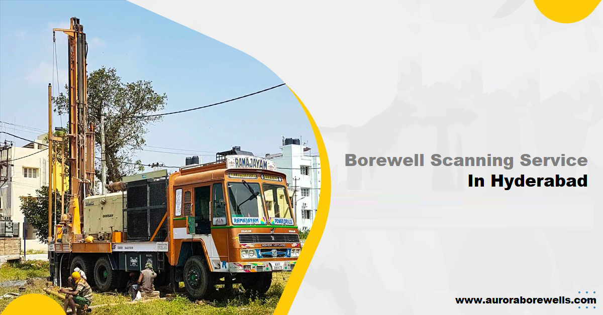
Borewell Scanning and Groundwater Mapping: A Vital Tool for Sustainable Agriculture
In today’s world, water scarcity is a growing concern, especially for the agricultural sector. To ensure efficient water usage and sustainable farming practices, accurate groundwater mapping and borewell scanning have become indispensable tools.
What is Borewell Scanning?
Borewell scanning is a non-destructive technique that uses advanced technologies like acoustic imaging and electromagnetic induction to assess the condition of a borehole. It helps identify issues such as:
- Casing failures: Detects cracks or perforations in the borehole casing.
- Sedimentation: Measures the amount of sediment build-up inside the borehole.
- Water level fluctuations: Monitors changes in the water table.
- Wellbore integrity: Assesses the overall condition of the wellbore.
Why is Groundwater Mapping Important?
Groundwater mapping involves the creation of detailed maps that show the distribution and quality of groundwater resources. This information is crucial for:
- Identifying potential water sources: Helps locate areas with abundant groundwater reserves.
- Optimizing water extraction: Ensures sustainable water usage by avoiding over-extraction.
- Preventing groundwater contamination: Identifies areas vulnerable to pollution.
- Developing irrigation strategies: Assists in planning efficient irrigation systems.
Aurora Borewells: Your Trusted Partner for Borewell Scanning and Groundwater Mapping Services in Hyderabad
At Aurora Borewells, we offer comprehensive borewell scanning and groundwater mapping services in Hyderabad. Our team of experienced professionals utilizes state-of-the-art technology to provide accurate and reliable data.
Our Services:
- Borewell Scanning Services Hyderabad:
- Acoustic imaging
- Electromagnetic induction
- Casing integrity assessment
- Water level measurement
- Groundwater Mapping Services Hyderabad:
- Hydrogeological surveys
- Geophysical surveys
- Water quality analysis
- Groundwater modeling
By partnering with Aurora Borewells, you can:
- Maximize water yield: Identify the most productive zones for water extraction.
- Reduce operational costs: Minimize downtime and maintenance expenses.
- Ensure sustainable water usage: Promote responsible water management practices.
- Comply with regulatory standards: Adhere to environmental regulations and guidelines.
Conclusion
Borewell scanning and groundwater mapping are essential tools for sustainable agriculture. By investing in these services, farmers and water resource managers can make informed decisions to optimize water usage and safeguard our precious water resources.
Contact Aurora Borewells today to learn more about our services and how we can help you achieve your water management goals.

